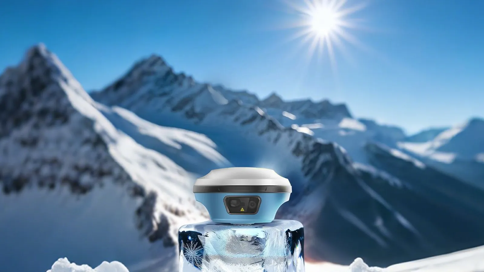
RTK receiver with a 50 m laser for points the pole cannot reach, two-camera AR stake-out and tilt to 120°.
01 / 02
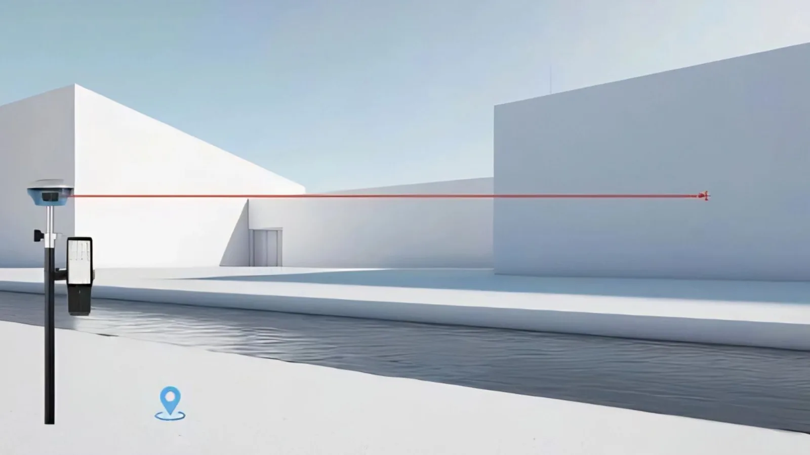
The X5 is an RTK rover built for the points a pole cannot stand on. A green laser in the head measures up to 50 m away, aimed through a long-focus camera, so a roof edge, the far side of a ditch or a corner of a live roadway is picked up from where you are standing rather than by walking into it.
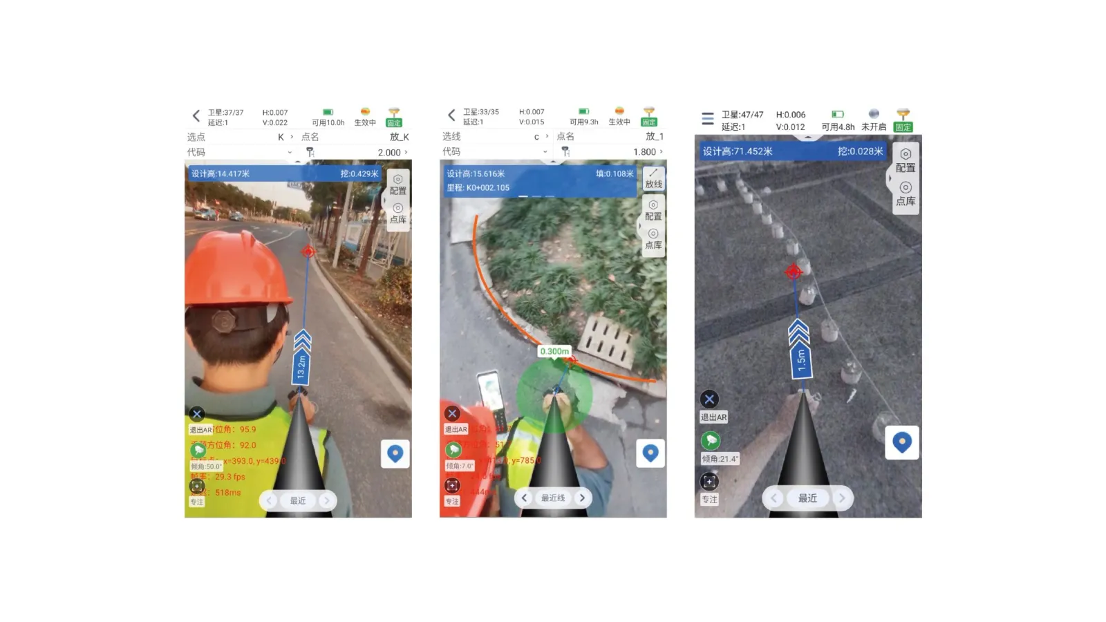
Stake-out is done on screen. A front camera gets you to the area, then a camera in the base takes over for the last few centimetres, with the target drawn into the live picture — no turning the pole to find north, no levelling the bubble.
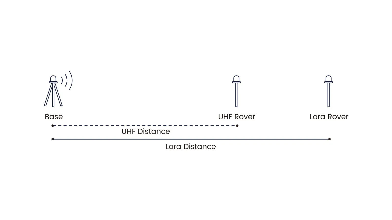
Underneath it is a 1,632-channel receiver tracking GPS, GLONASS, Galileo, BeiDou, QZSS and NavIC, with a 200 Hz IMU for tilt up to 120°. Corrections come from an NTRIP service, from SpatiX by network or L-band satellite where that reaches, or from your own base on the built-in LoRa radio, which reaches about one and a half times as far as a conventional UHF link.
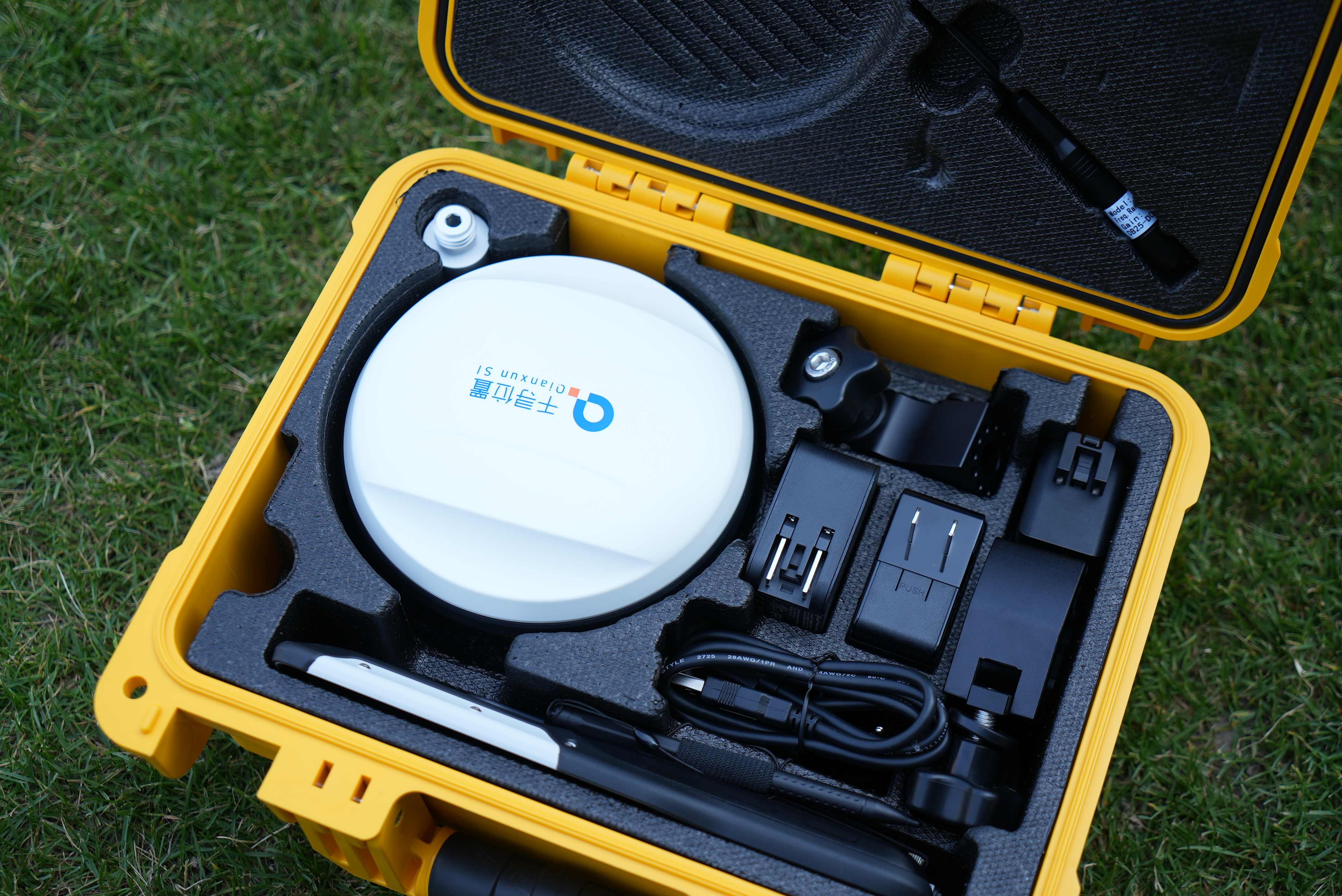
It ships with the L5512 rugged controller and the MetriX field app. Ask us for a quote, or to see it working on one of your own sites.
How it works
01
Measure the point you cannot stand on
A Class 3R green laser in the head ranges from 0.1 to 50 m, aimed through a long-focus camera so you can zoom onto a small target. Roof edges, the far side of a ditch, a corner of a live roadway — taken from a safe spot instead of walked to.
02
Stake out on the picture
The front camera gets you to the area; the bottom camera takes over for the last few centimetres, with the target drawn into the live view. No hunting for north, no levelling the bubble before each point.
03
Corrections, three ways
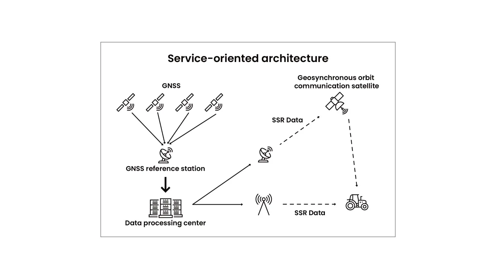
Network RTK from SpatiX ground stations, SSR by L-band satellite where there is no cell signal, or network PPP, which SpatiX runs worldwide. Coverage of the first two varies by region, so ask us what reaches your area — or run it from your own base, or on any NTRIP service you already use.
04
Your own base, further away
The built-in LoRa radio reaches about one and a half times as far as a conventional UHF link, and still speaks the usual radio protocols if your base is from another brand.
05
Tilt it and keep working
A 200 Hz IMU holds accuracy with the pole tilted up to 120° — under 2 cm within 30° — and initialises while you walk, with no shaking or standing still after power-on.
06
Controller and field app included
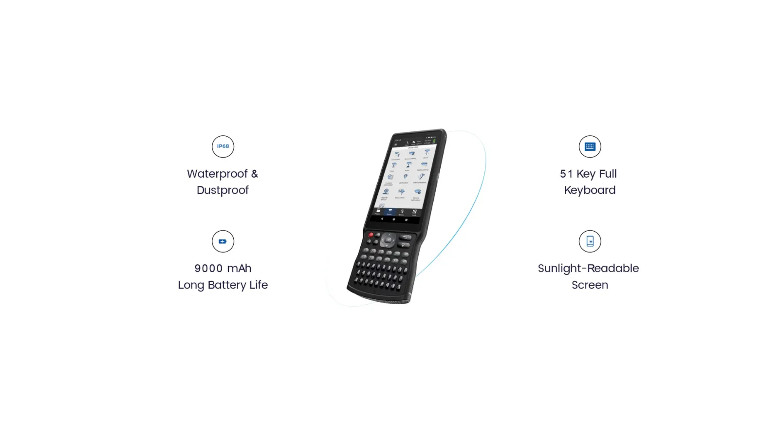
The L5512 rugged controller runs Android 14 on a 5.5-inch screen with a full keypad and a 9,000 mAh battery. The MetriX app carries more than 2,000 coordinate systems, CAD backgrounds and road and solar-farm workflows.
What it does
No levelling
Tilt to 120° on a 200 Hz IMU, and the INS initialises while you walk.
Corrections three ways
NTRIP, SpatiX network or L-band where it reaches, or your own base over LoRa.
Stake-out on the picture
Front camera for the approach, bottom camera for the last few centimetres, the target drawn into the live view.
Measure what you cannot stand on
A 50 m green laser, aimed through a long-focus camera, takes the point from where you are.