01
Set the standard before the site
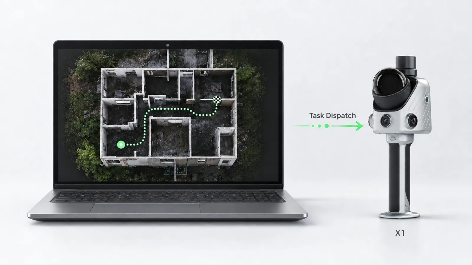
Define the capture area, the route and what has to be checked in FJD Trion Model Web, then sync it to the X1 as a task. The brief travels with the device, not in someone's head.
Handheld LiDAR with GNSS, 360° cameras and a built-in screen — capture tasks planned in the office, followed on site.
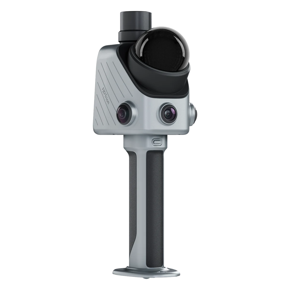
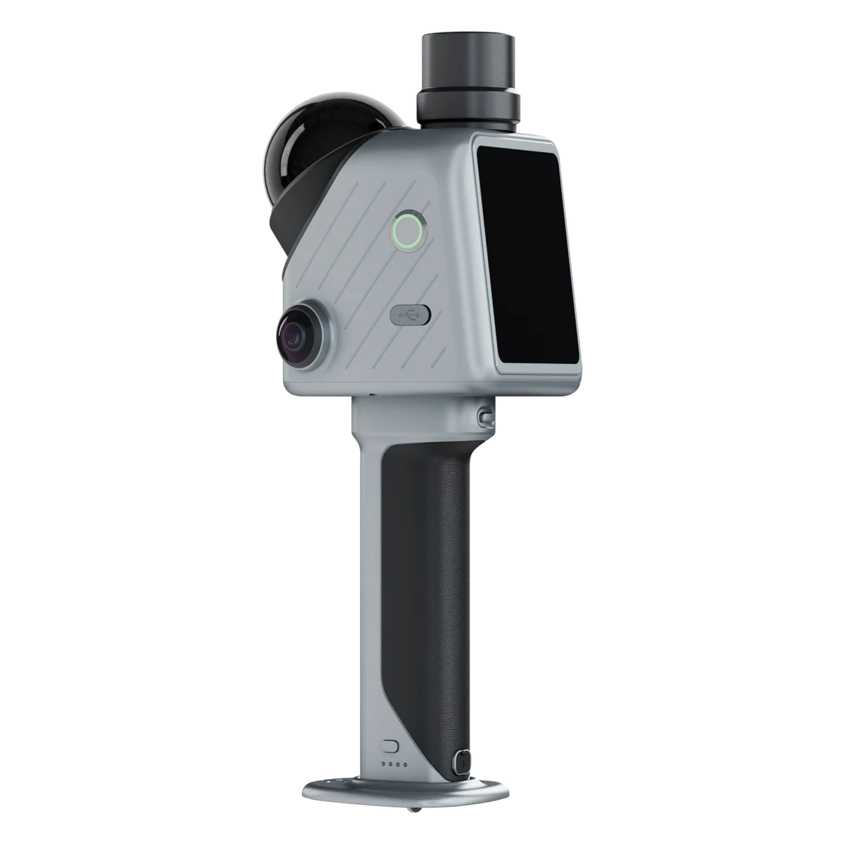
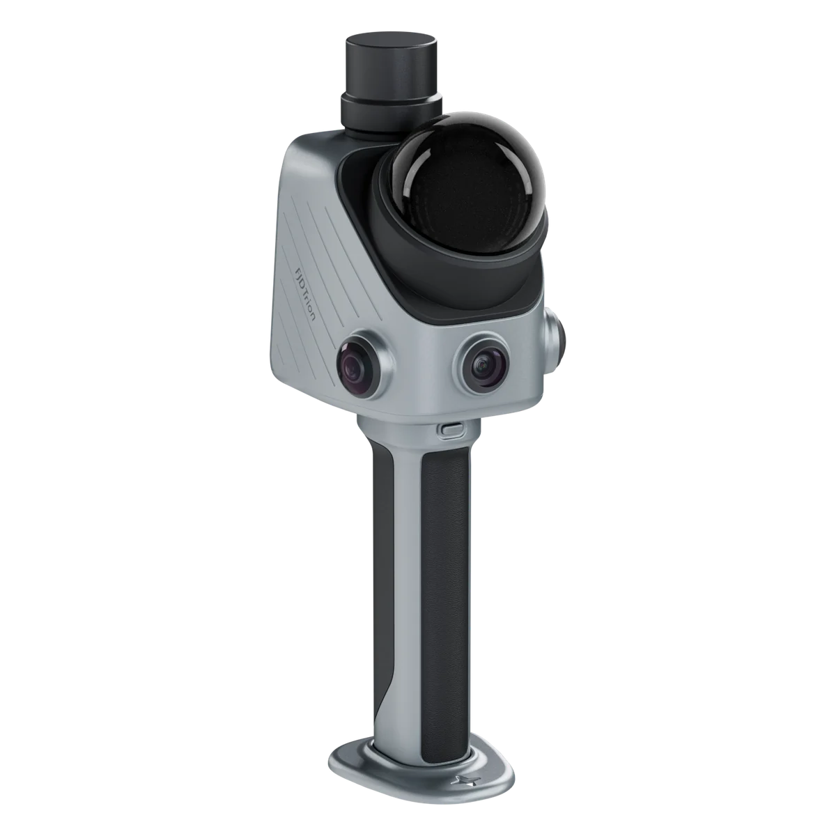
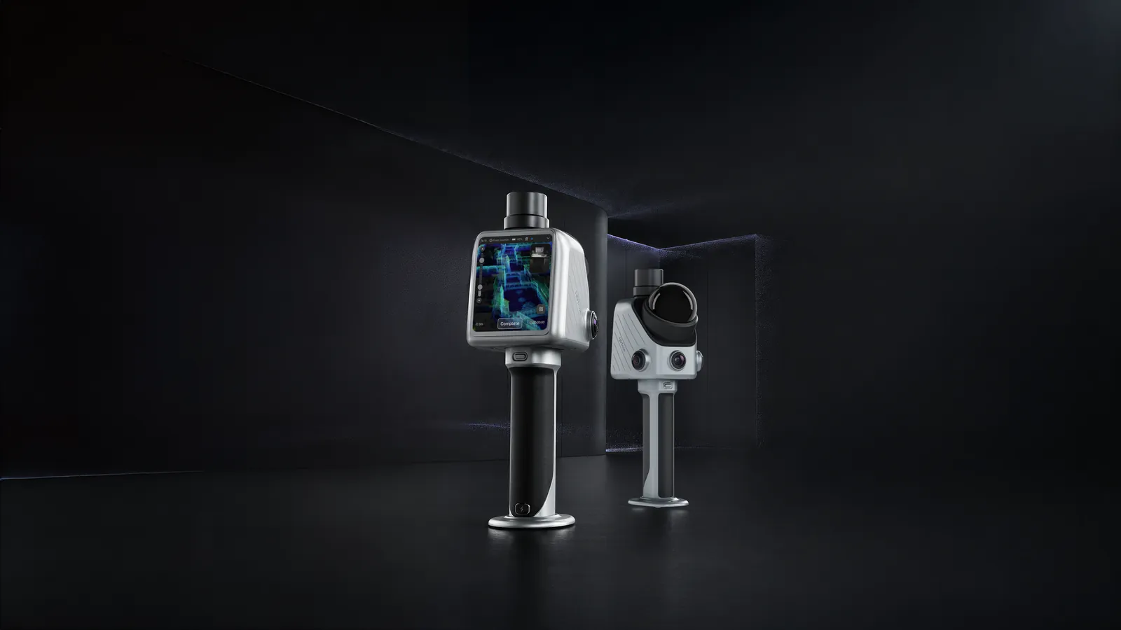
The X1 is a handheld LiDAR scanner built around one problem: sending someone to site is easy, getting back the data you actually needed is not. Before anyone leaves the office, you set the capture area, the route and what has to be checked in FJD Trion Model Web, and send it to the device as a task. The operator follows it on the X1's own screen, step by step, with no phone and no separate instructions.
Everything needed for the visit is in one body: a 384,000 pts/s LiDAR with a 360° × 62° field of view, GNSS, two 48 MP panoramic cameras and a front camera, and a 3.9-inch OLED display that shows what is being captured as it is captured. The base is assembled at the factory, so setup is taking it out of the case.
The part that makes it more than a scanner is what it records alongside the points. Aim the crosshair at a crack or a missing fixture and the issue is marked at its position in the 3D data. Plug in a microphone and spoken observations are saved and transcribed. Back in Model Web, the scan, the route, the issue markers and the notes come together in one report — or as a 3D Gaussian Splatting scene a client can walk through in a browser.
Post-processed accuracy is ≤1 cm relative and 3 cm absolute, lab-tested, with real results depending on site and workflow. That is the right grade for as-built records, inspections, incident scenes and stockpiles, done the same way by different people across many sites. For millimetre-grade survey work, look at the OmniSLAM R8+.
Ask for a quote, or a demo on one of your own sites.
Define the capture area, the route and what has to be checked in FJD Trion Model Web, then sync it to the X1 as a task. The brief travels with the device, not in someone's head.
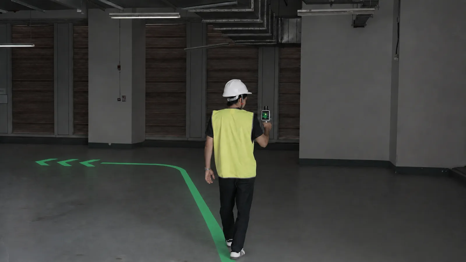
Route guidance on the X1's own screen keeps the operator on the plan — no phone in the other hand, no printout, no call back to the office to ask what was meant.
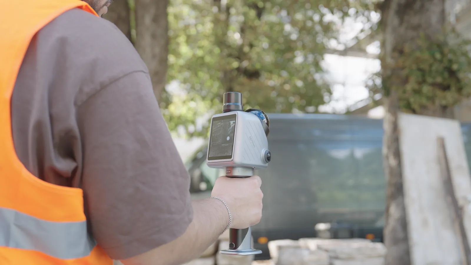
The built-in display shows where you are aiming and what has already been covered, so a missed corner is found on site rather than after the drive home.
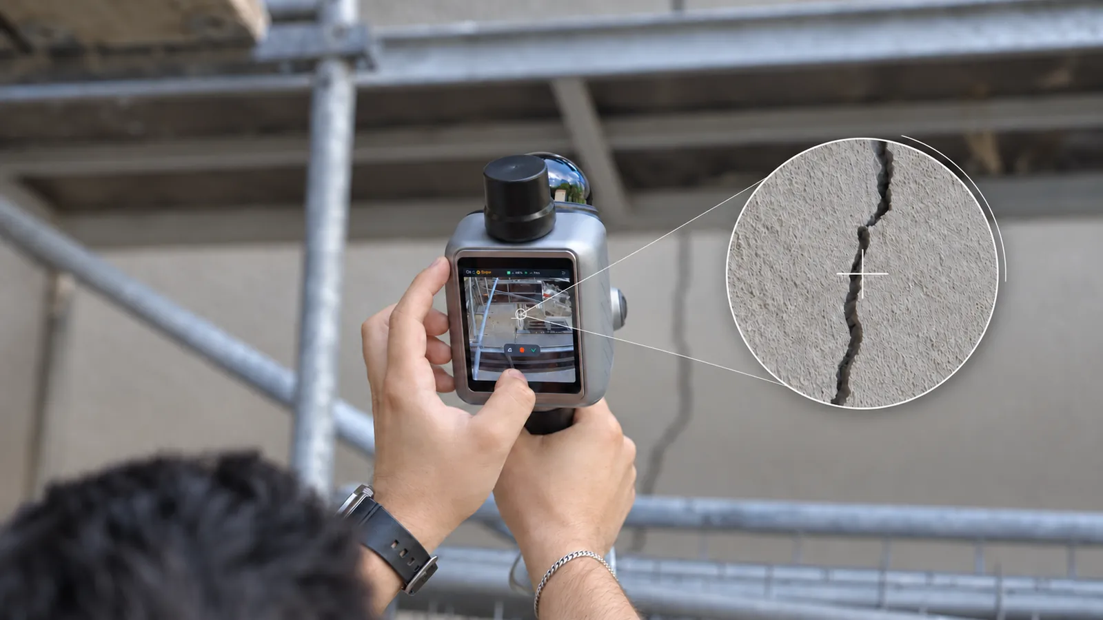
Aim the crosshair at a crack, a leak or a missing fixture while scanning and it is pinned to that exact place in the point cloud — not described in a note somebody has to match up later.
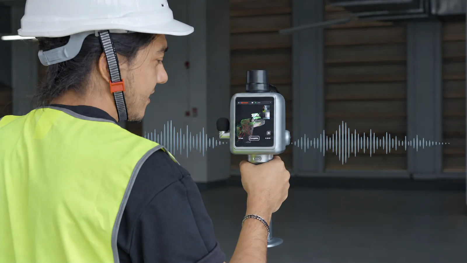
Plug in a microphone and say what you see as you walk. Model Web transcribes supported languages, so the observation lands in the report next to the place it is about.
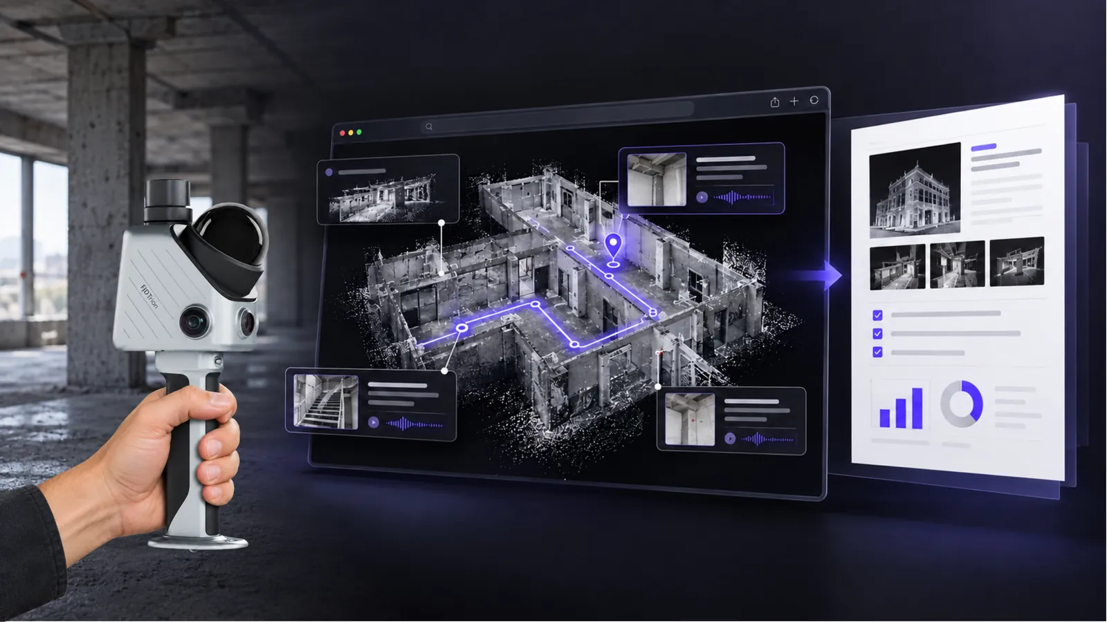
Scans, route, issue markers and notes come together in Model Web as one report ready to review and share — or as a 3D Gaussian Splatting scene your client walks through in a browser.
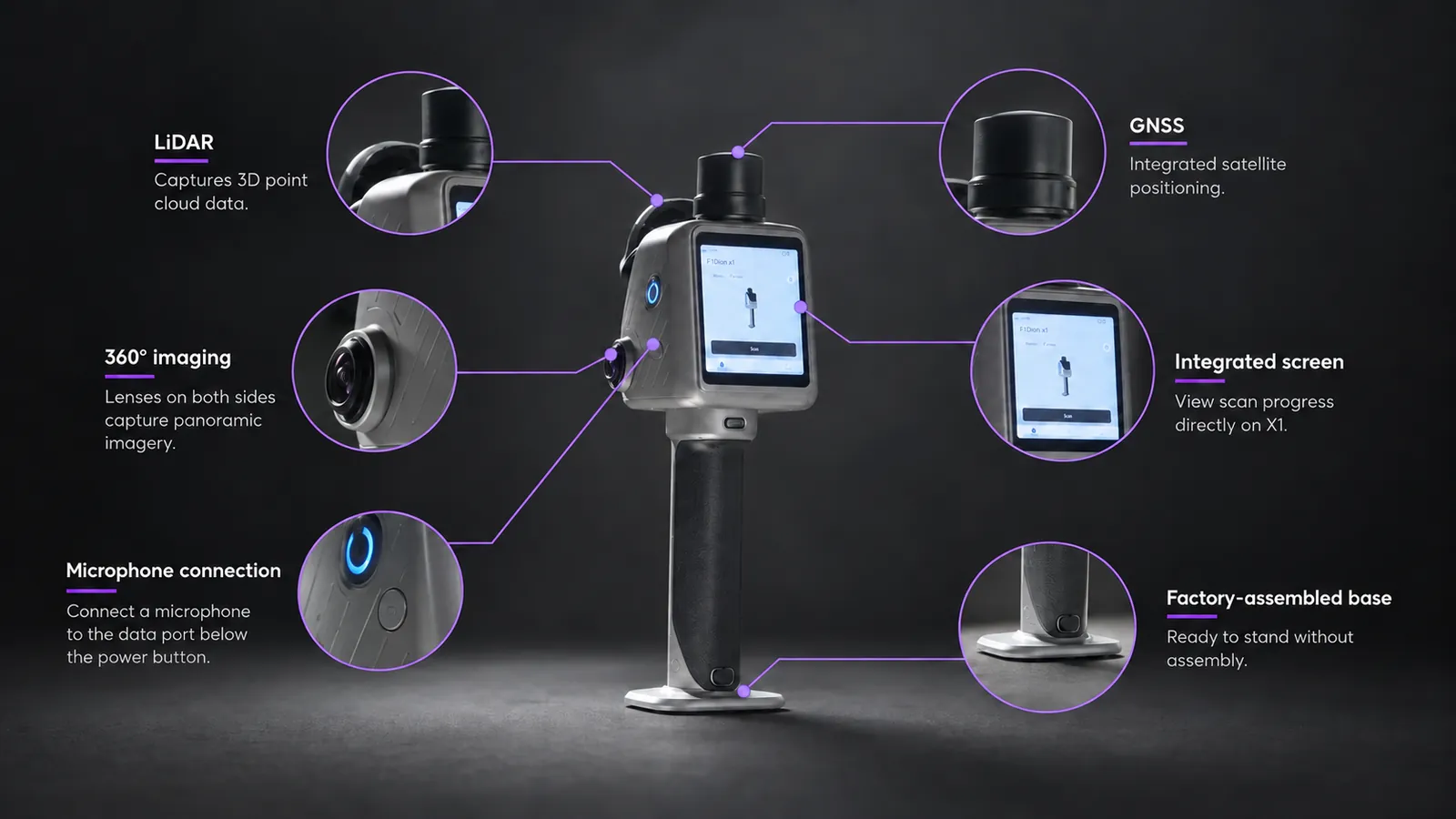
LiDAR, GNSS, two 48 MP panoramic cameras and the screen in one body on a factory-assembled base. Setup is taking it out of the case.
Camera tracking runs alongside the LiDAR, and images export as JPG for the record.
An interrupted scan picks up where it stopped instead of starting again.
Up to five hours per pair, and the 67 W charger fills both at once.
Turn a scan into a 3DGS scene clients move through in their browser, with nothing to install.
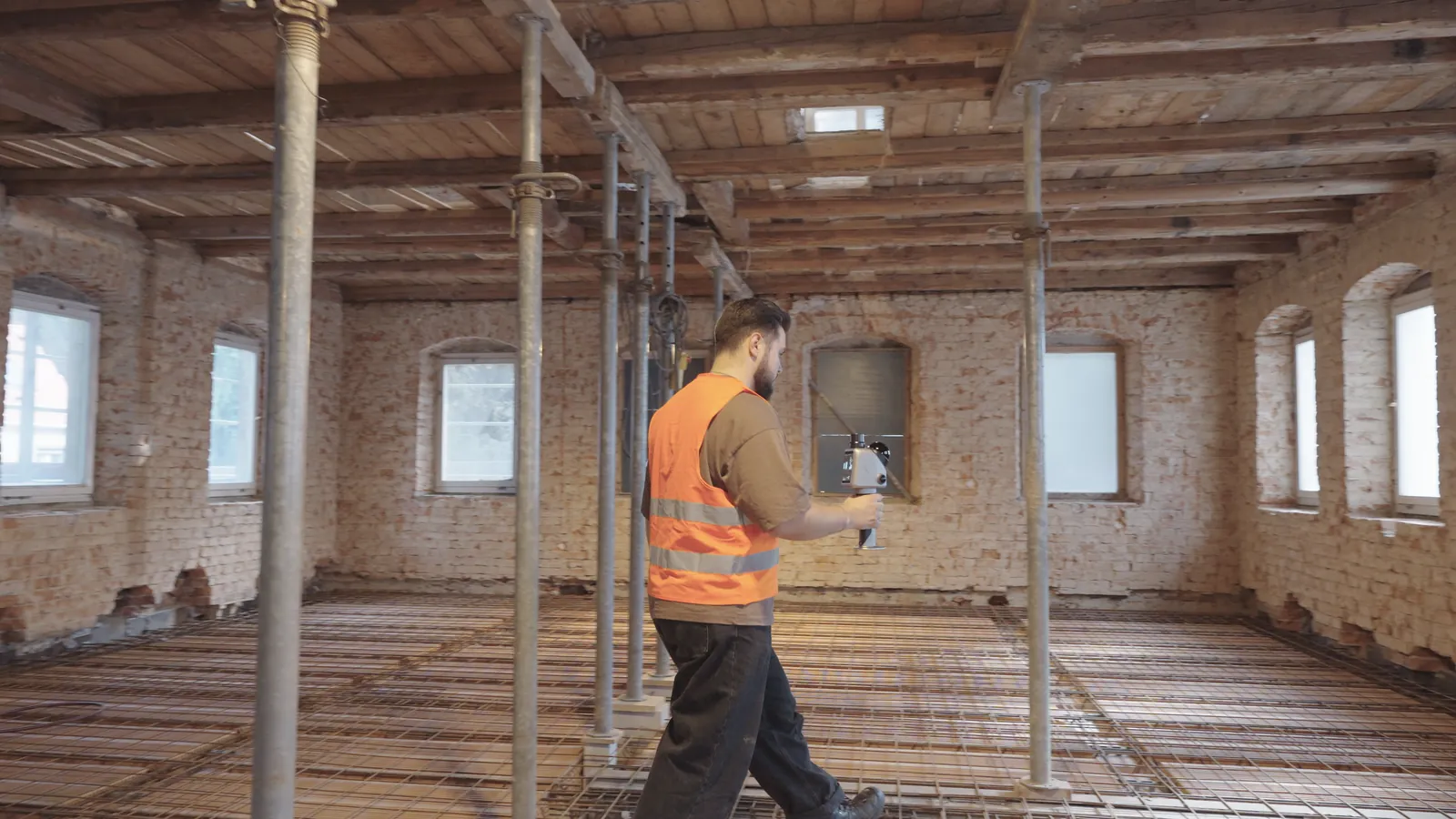
Construction progress, renovation conditions and MEP installations, captured as a 3D record you can return to.
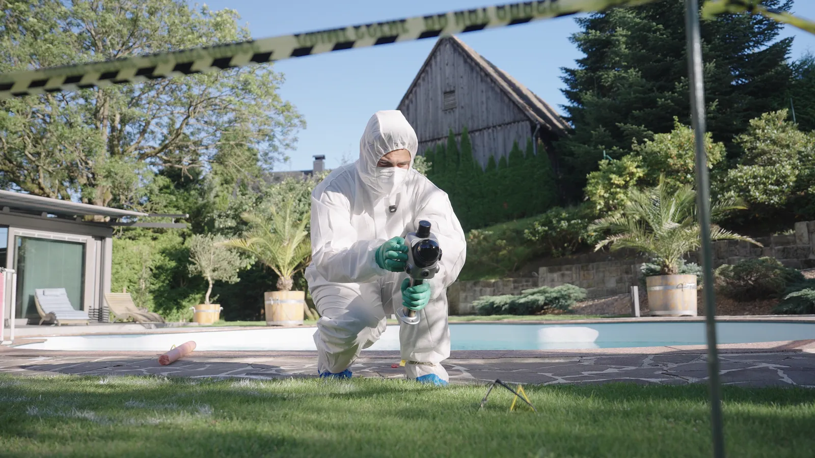
3D and panoramic records of a scene for safety documentation and investigation, before anything is moved.
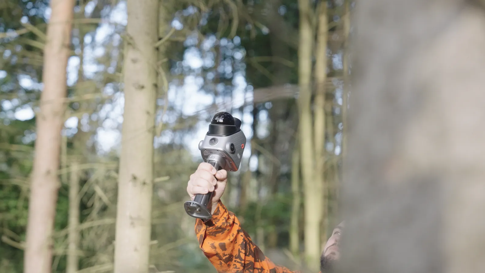
Street trees, campus roads, green belts and landscape assets, recorded in 3D on foot.
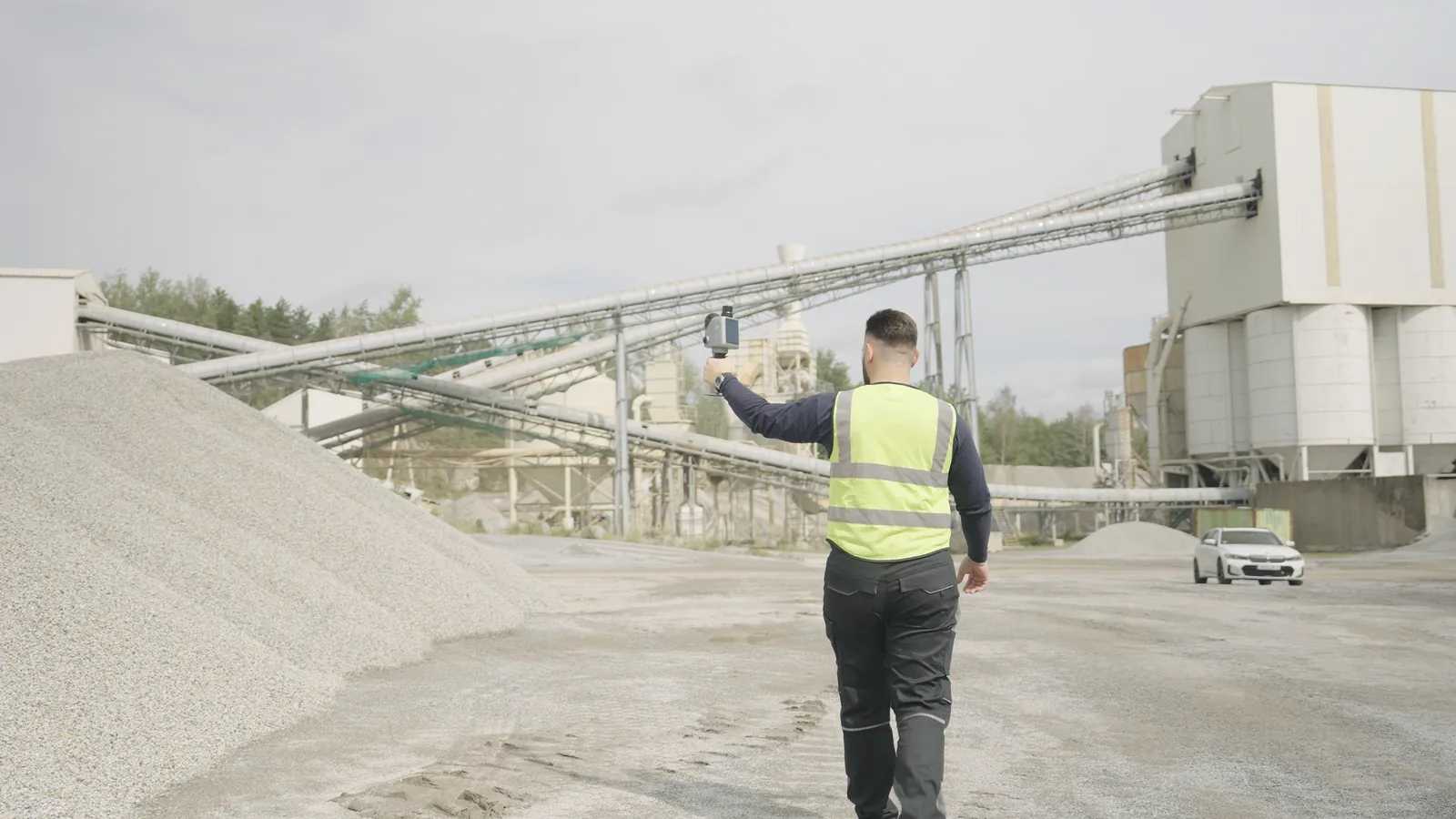
Volume records of stockpiles and yards, with GNSS-assisted positioning.