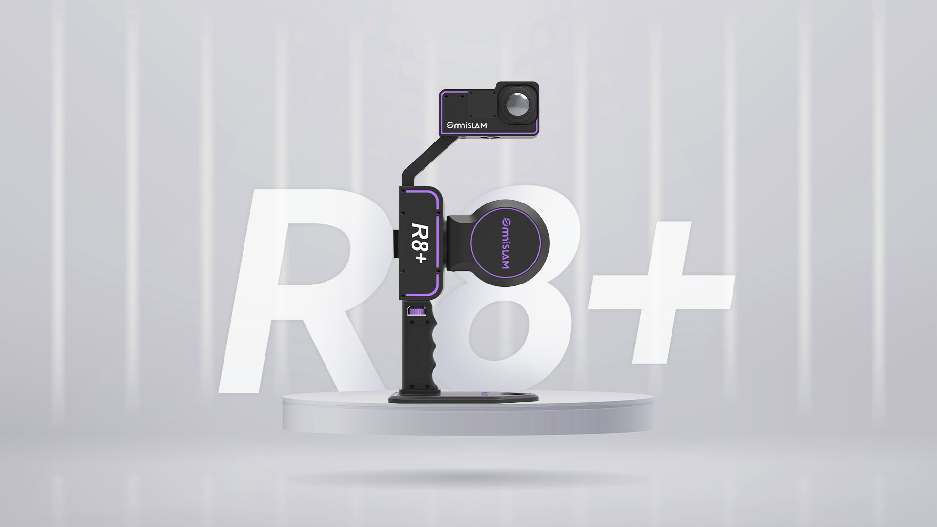
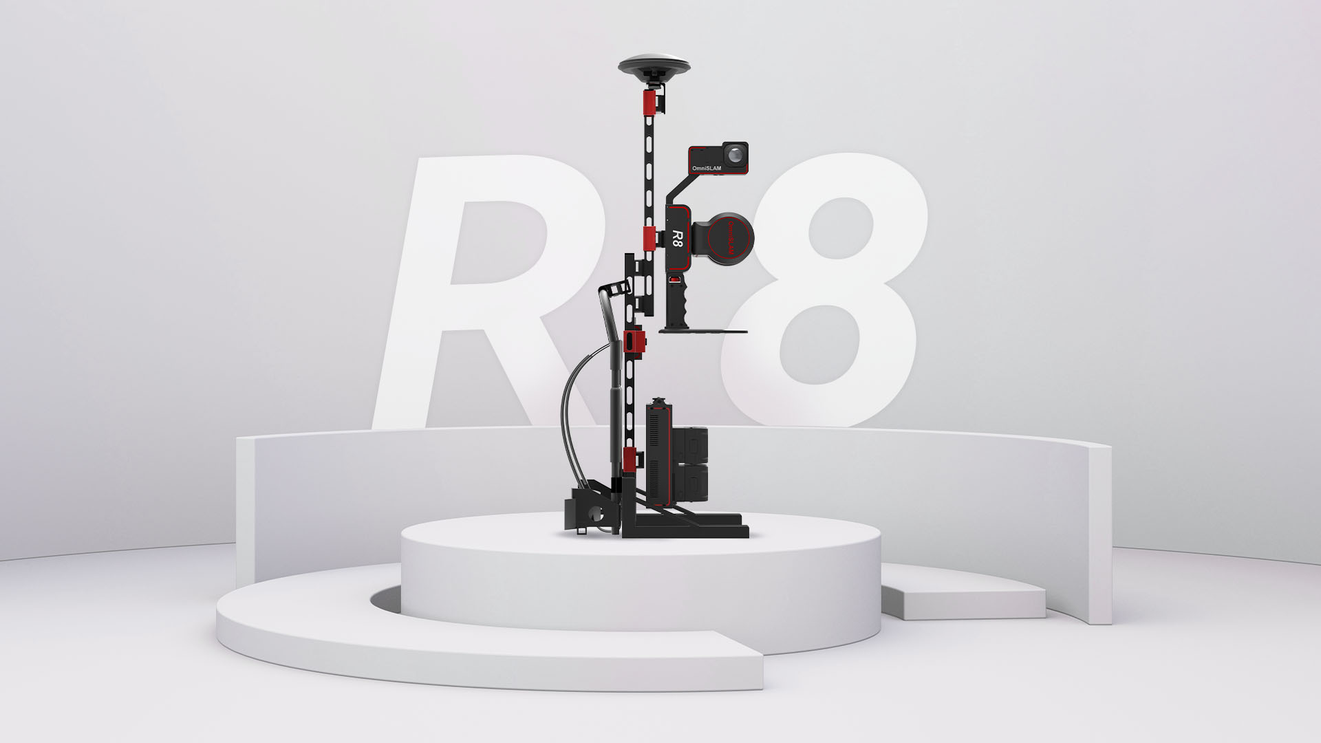
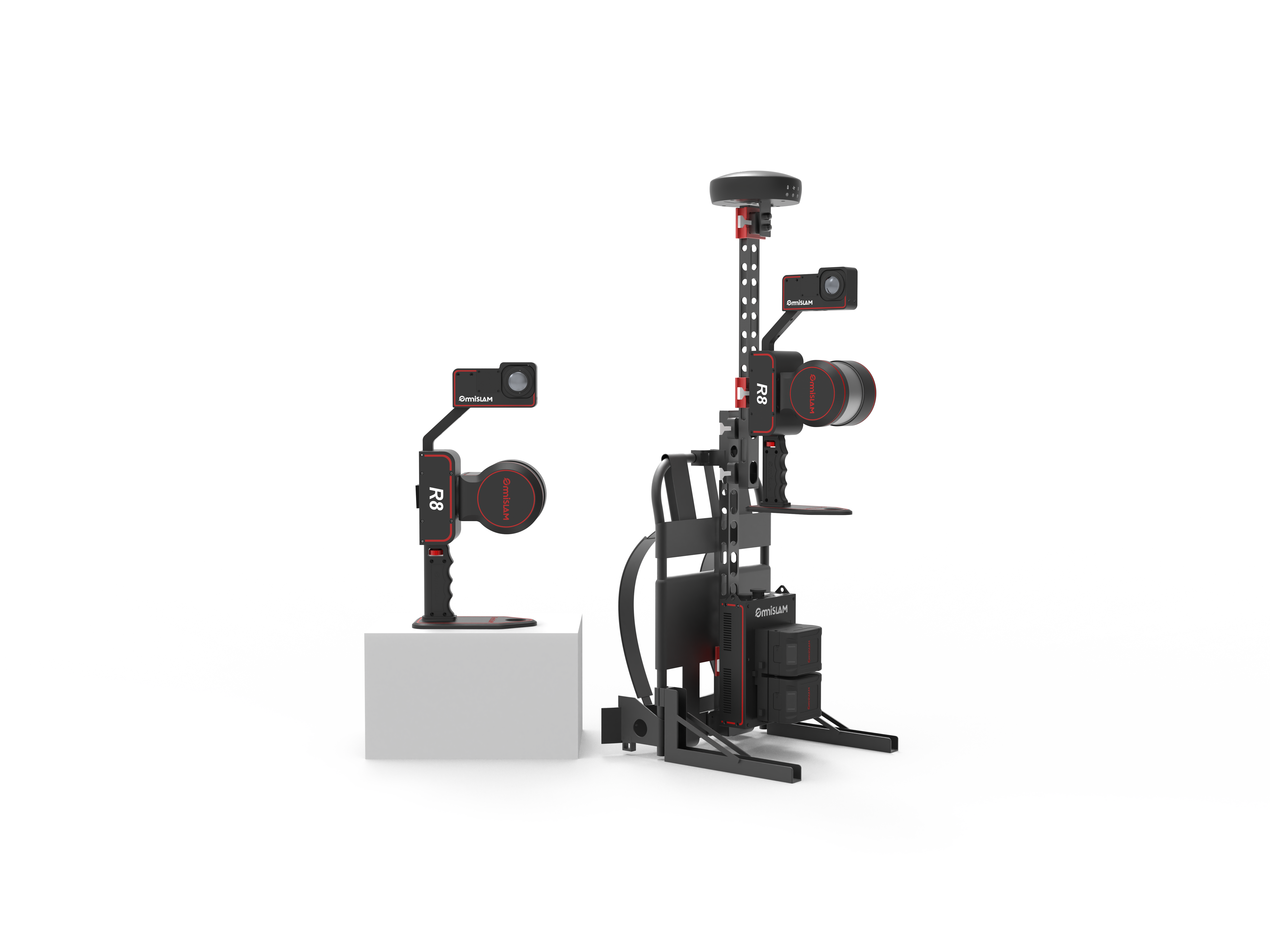
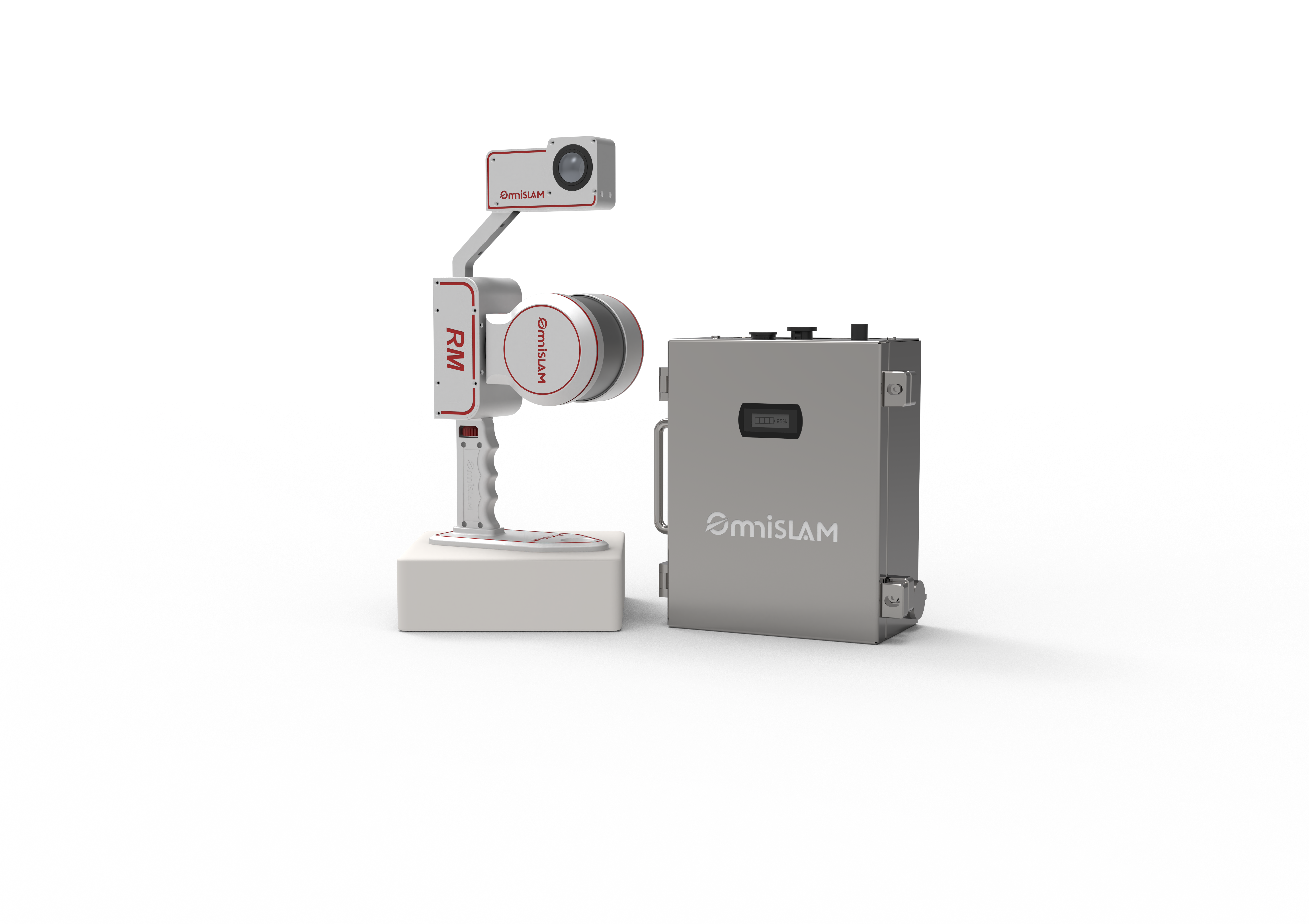
The R8 is the centimetre-grade workhorse of the line, and for most topographic and mapping work it is the right answer rather than the cheaper one. Relative accuracy is 1 cm, absolute 1.8 cm horizontally and 2.5 cm vertically.
The figure worth understanding is repeatability. Two operators, two devices, two different routes through the same site, and the resulting clouds agree to within 2 cm in WGS84. That is what makes the data usable by someone who was not there when it was captured — which is, eventually, everyone.
Self-adaptive online calibration runs for the life of the unit, so cloud thickness does not creep as the scanner ages and there is no sending it back to the factory to be re-calibrated. Where RTK is weak, the PPK-SLAM filter holds a fixed solution rather than accepting a misleading one, which is the failure mode that quietly ruins a day's work.
Available to buy, to rent by the day or week, or to demo on one of your own sites before you decide.
Tells you how many control points a scan needs to reach your accuracy, and roughly where.
2 cm repeatability
Different operator, different device, different route through the same site — the clouds still agree to within 2 cm in WGS84. That is what makes the data usable by someone who was not there.
Absolute levelling
Clouds come out level and plumb in WGS84 to within 0.015°, so a long corridor does not lean by the end of it.
Dual-screen review
Panoramic image beside the coloured cloud, so features are identified and drawn once rather than twice.
Accuracy report on every scan
Mean absolute deviation plus a thermal map of where the cloud is weakest, generated by OmniSLAM Mapper.
Large-scale Gaussian splatting
Whole-site models of parks and infrastructure, generated automatically from the same capture.
PPK-SLAM tightly coupled filter
Where RTK is weak, a misleading fix is worse than no fix. The filter holds a real one and still produces 1:500 WGS84 clouds in difficult ground.
Self-adaptive online calibration
Calibration runs for the life of the unit, so accuracy does not quietly degrade with use and the scanner never leaves site to be serviced for it.
Specifications
Carried as
Handheld · backpack · vehicle
Measure range
120 m · 300 m on the R8-300
Point density
40,000 pts/m²
Repeatability
Within 2 cm across repeat scans
Laser channels
32
Angular accuracy
0.015° levelling and vertical
Measurement rate
640,000 pts/s
Absolute accuracy
1.8 cm horizontal · 2.5 cm vertical
Relative accuracy
1 cm
Point cloud thickness
1 cm
Builds
R8
120 m range. The standard build.
R8-300
300 m head, for open ground and long corridors.
Tell us the site and we will tell you which one you need.