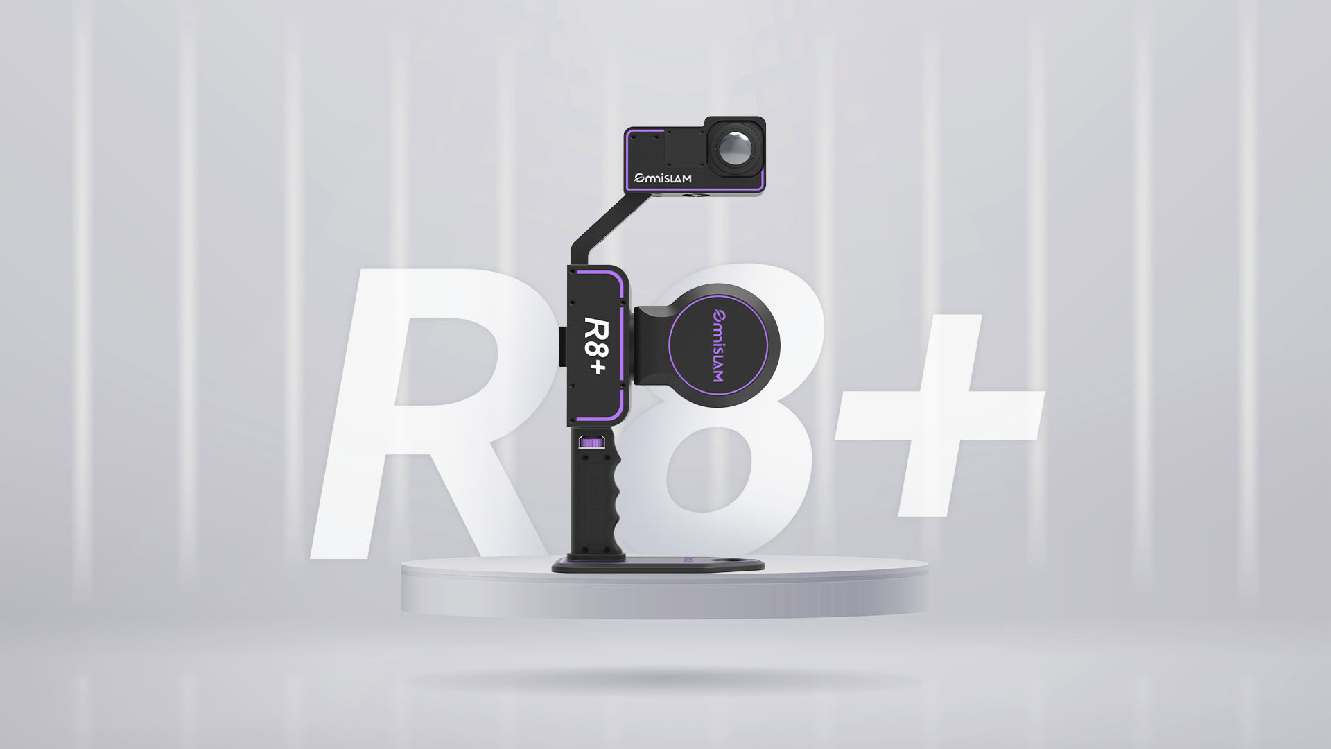
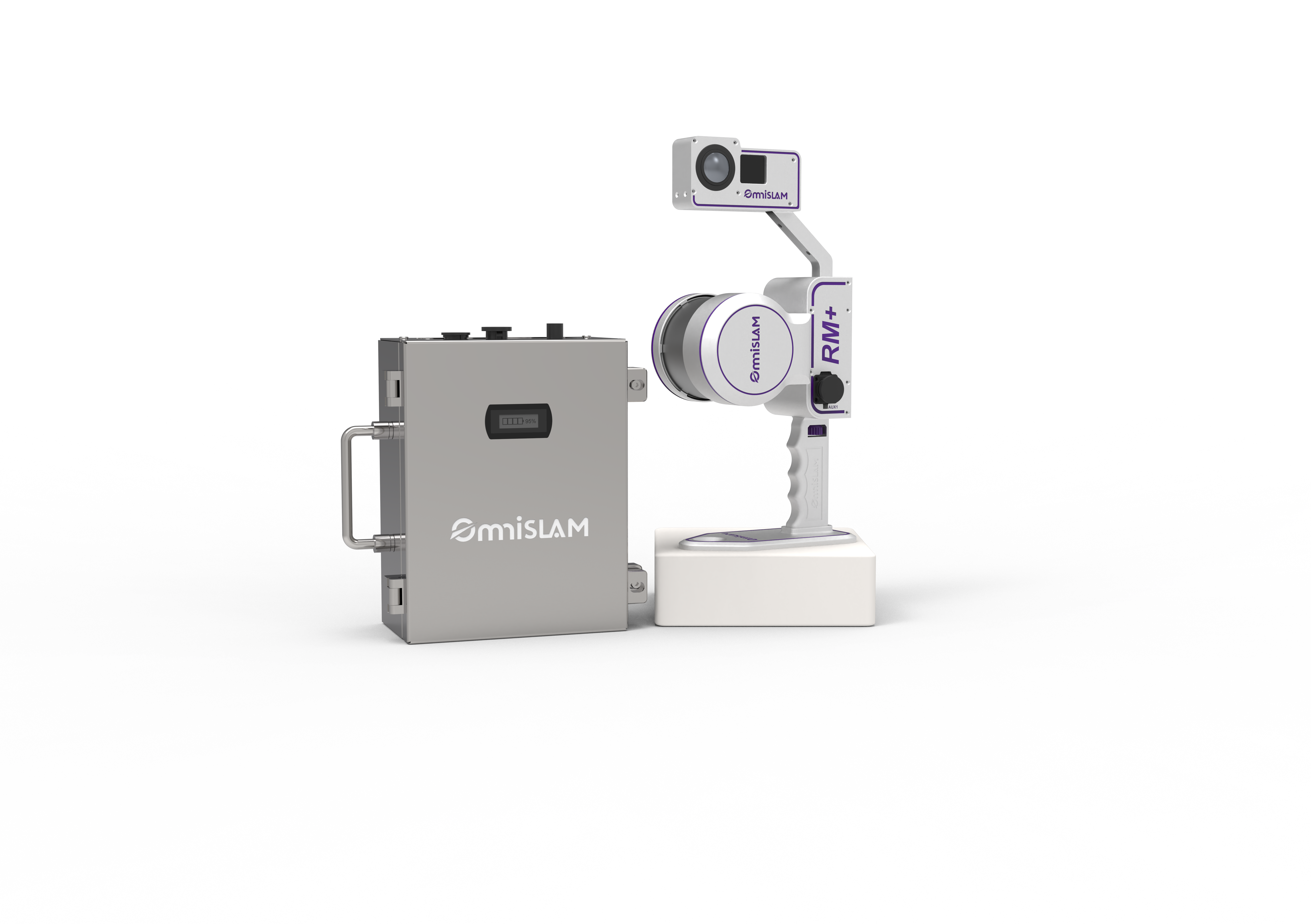
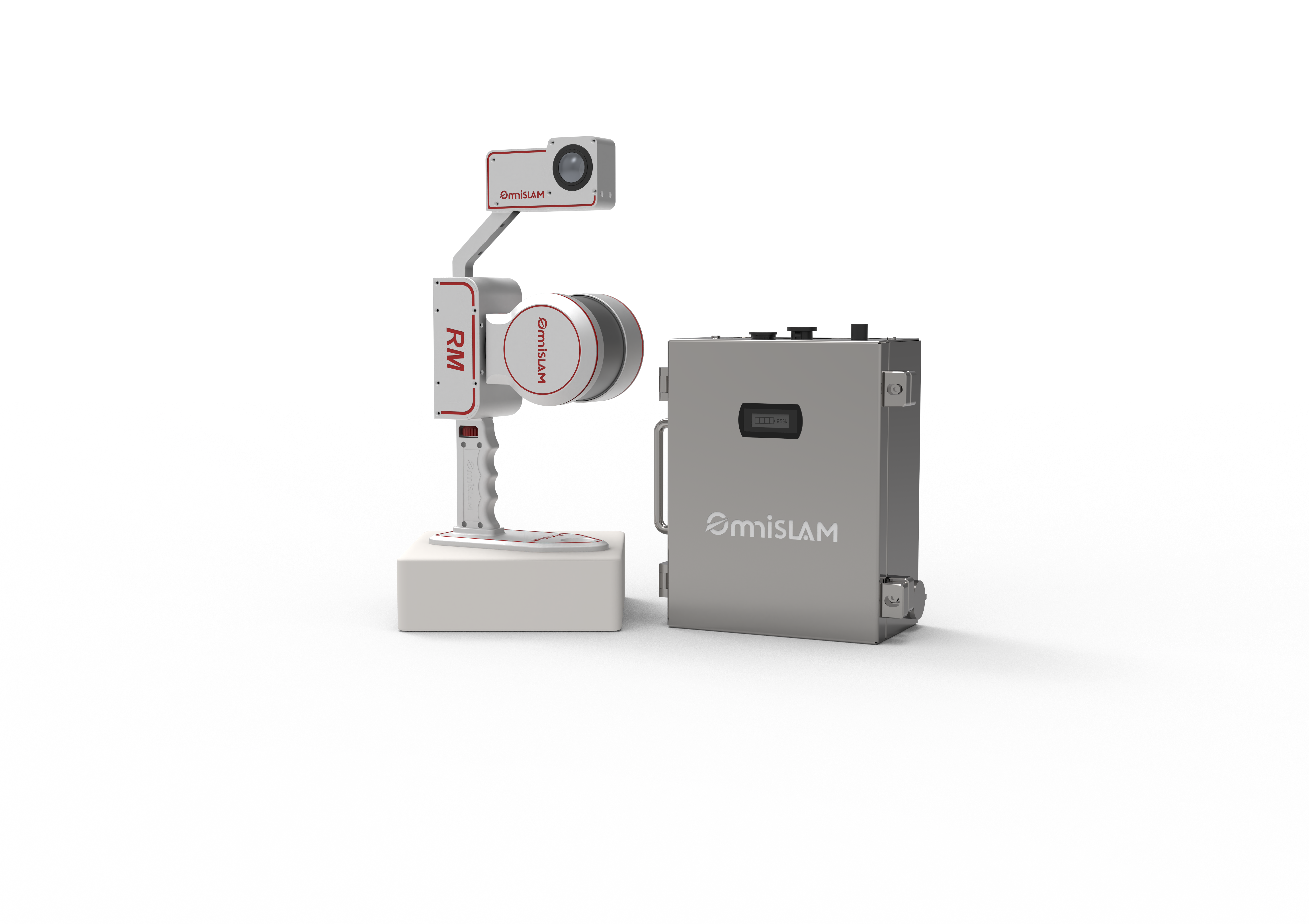
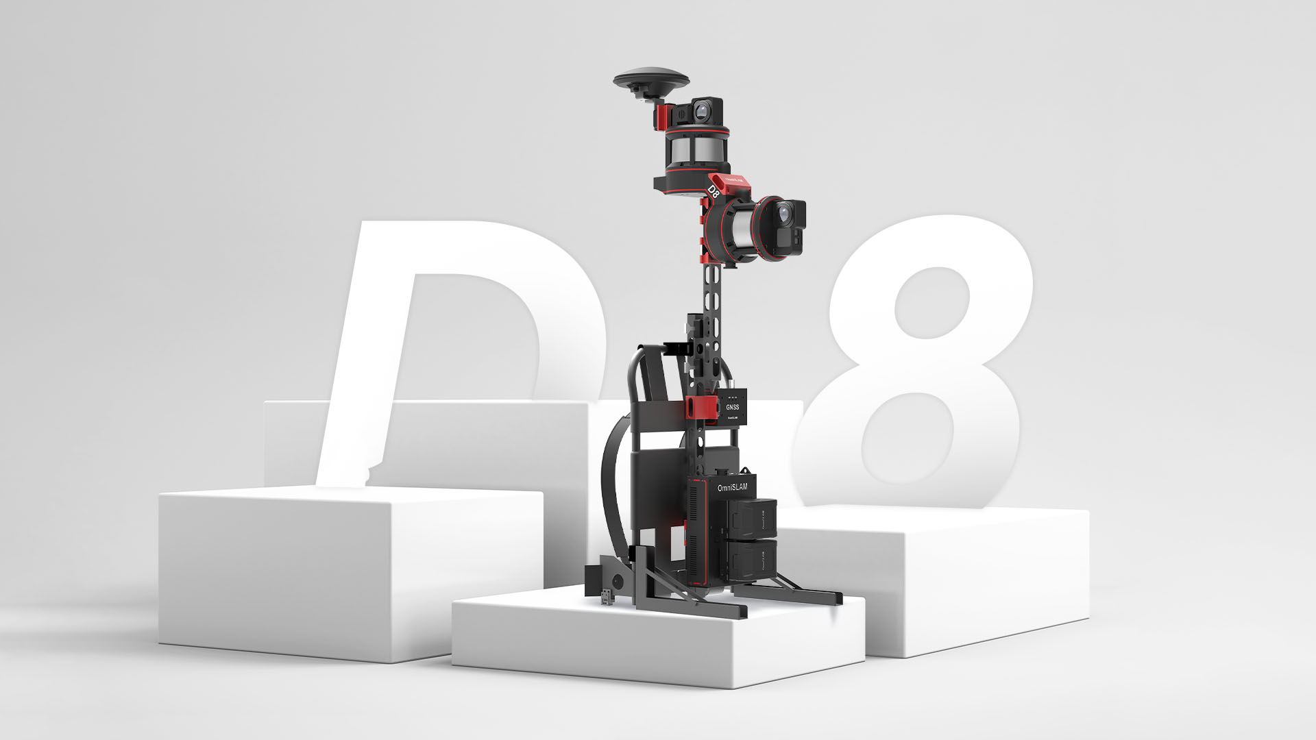
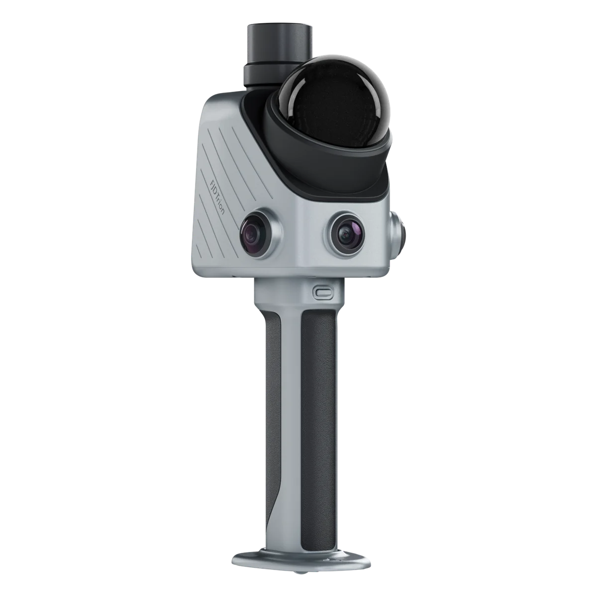
The R8+ is the millimetre-grade end of the OmniSLAM line. It is a rotating single-LiDAR SLAM scanner, which is the part that matters in practice: you walk, and it builds the cloud as you go, with no setup, no targets and no registration afterwards.
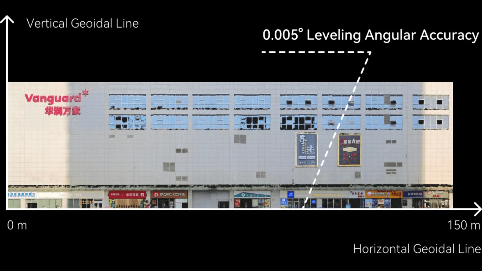
What separates it from the R8 is thickness. Unfiltered point clouds come out around 2 mm thick against the R8's 1 cm, so edges stay edges and text on a sign is still readable in the cloud. Density is roughly 250,000 points per square metre. Levelling and vertical angular accuracy are held to 0.005°, which is what keeps a long corridor or a tall façade from drifting out of plumb.
Colour comes from a panoramic camera fused with the LiDAR, so the cloud arrives coloured rather than needing a separate photogrammetry pass. OmniSLAM Mapper generates an accuracy report for every scan — a mean absolute deviation figure and a thermal map showing where the cloud is weakest — and, where a scan does not meet the accuracy you need, a GCP instruction telling you how many control points to add and roughly where.
OmniSLAM Modeler turns the cloud into a mesh on a single workstation instead of a cluster, and the 3D Gaussian Splatting pipeline handles the very large sites — industrial parks, infrastructure corridors — where a conventional mesh goes soft.
We sell it, we rent it, and we run it ourselves on our own survey work. If you want to see it before deciding, ask for a demo — walking a room with it tells you more than any spec sheet, this one included.
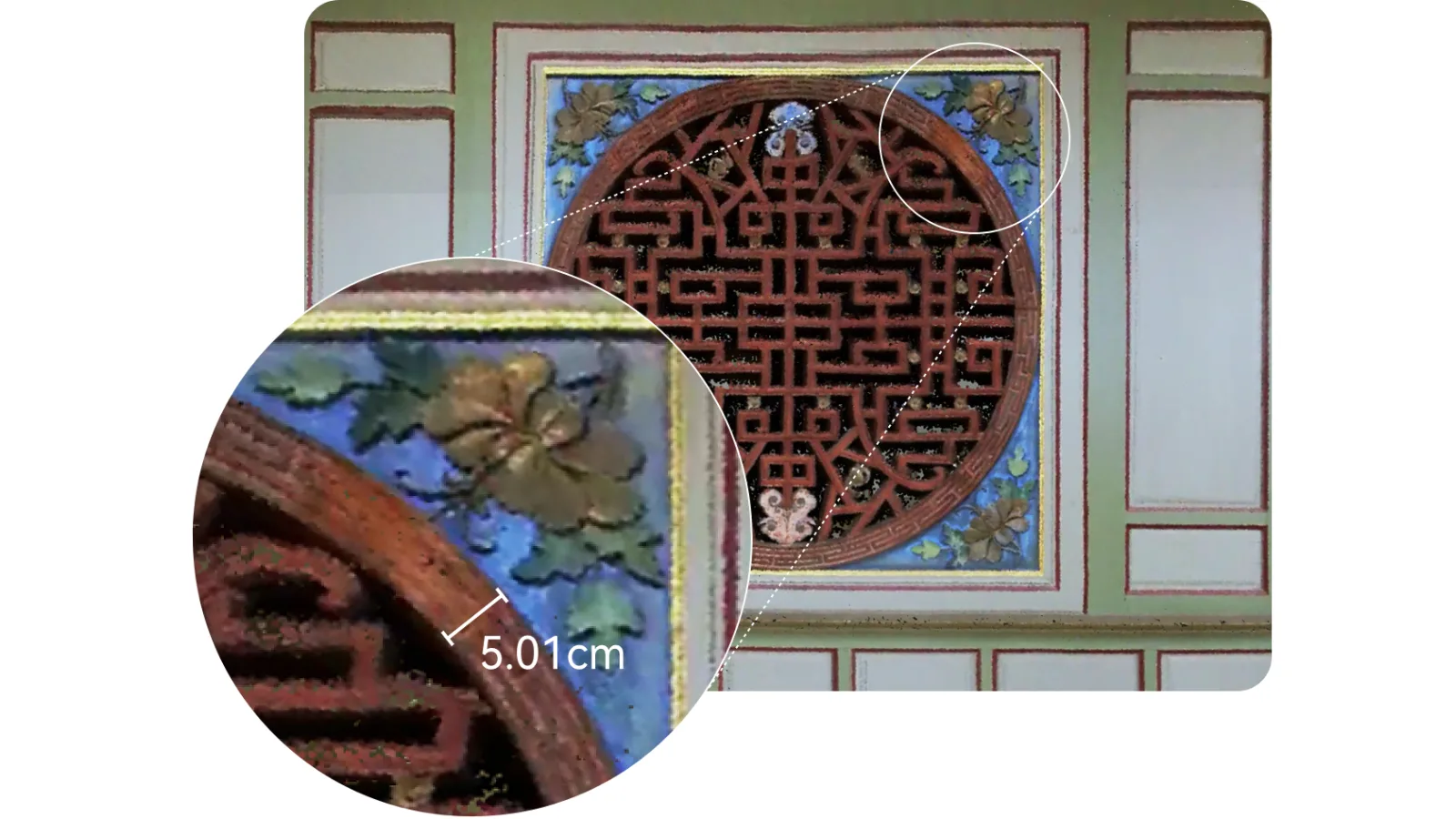
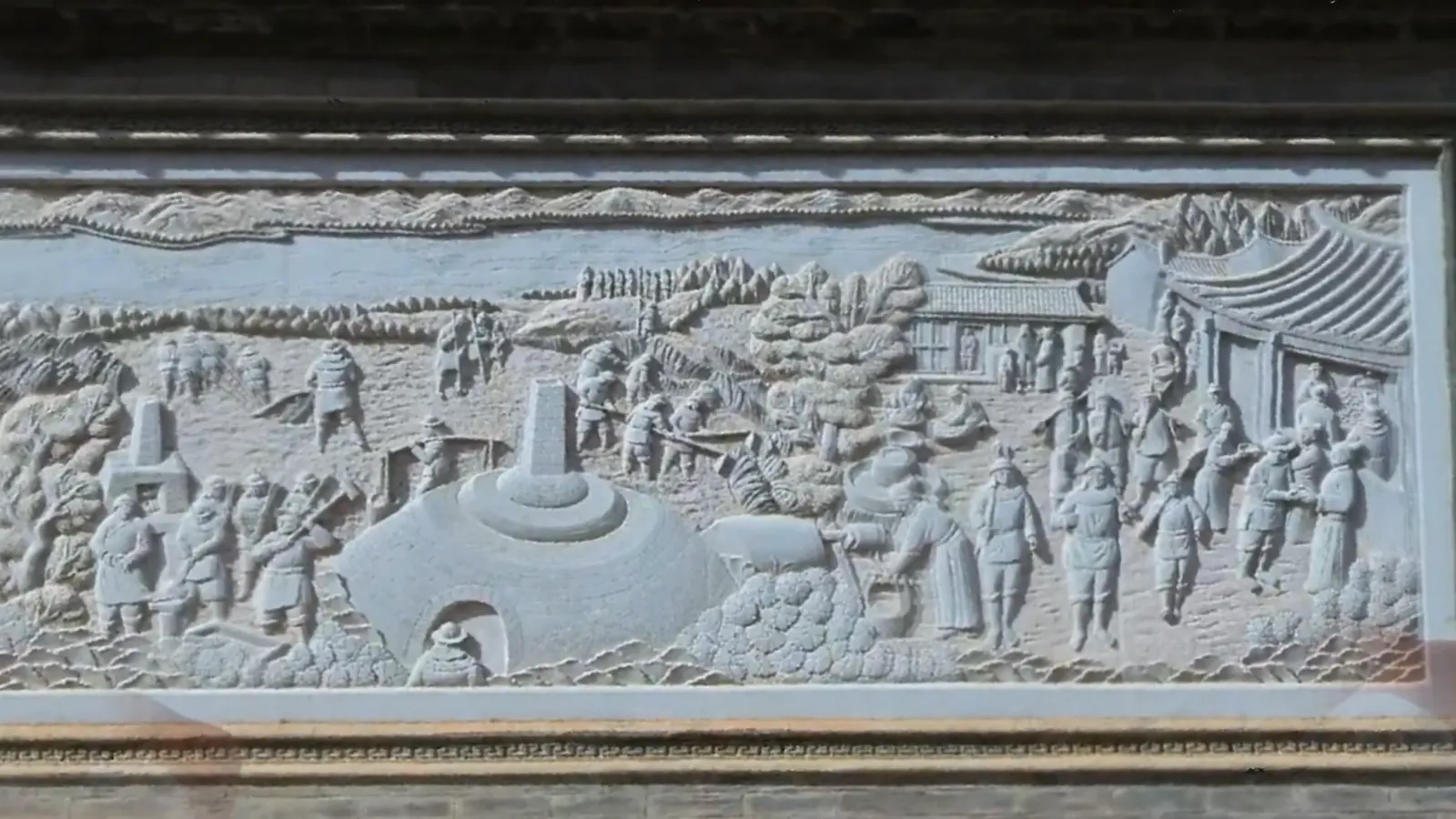
Unfiltered clouds come out around 2 mm thick at roughly 250,000 points per square metre. That is fine enough to take a dimension straight off a carved panel — the 5.01 cm in OmniSLAM's own example is read from the scan, not from a tape.
02
Level and plumb over 150 m
Levelling and vertical angular accuracy are held to 0.005°. Across a 150 m façade that caps the lean at about 13 mm, so a long corridor or a tall frontage comes out standing straight instead of drifting by the far end.
03
Colour at pixel level
LiDAR and the panoramic camera are fused live, so the cloud arrives in true colour rather than needing a separate photogrammetry pass. Stone relief, paint and signage read the way they do on site.
04
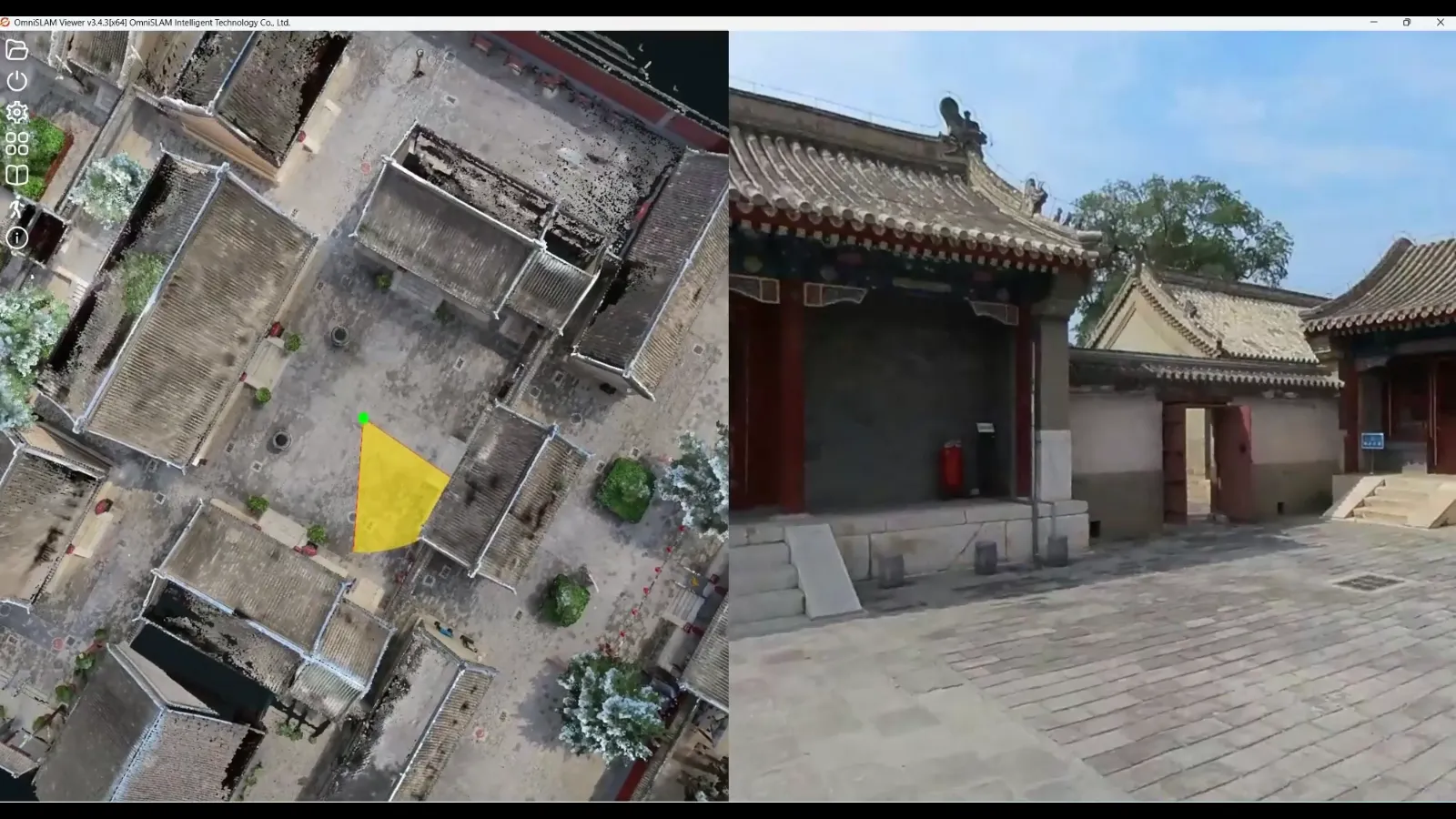
The panorama beside the cloud
OmniSLAM Mapper shows the panoramic image and the coloured cloud side by side, locked to the same spot. You identify a feature and draw it in one pass instead of flicking between two programs.
05
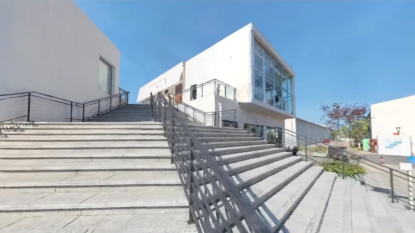
Gaussian splatting for the big sites
For industrial parks, campuses and infrastructure — places too large for a conventional mesh to stay sharp — the same capture becomes a 3D Gaussian Splatting scene with real light and texture.
06
What it is built on
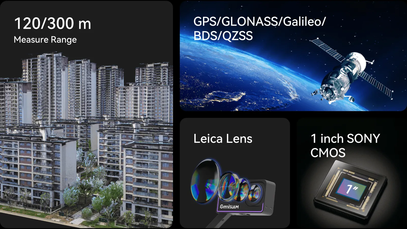
A 32-channel head at 640,000 points a second, with 120 m range as standard and 300 m on the R8+300. Positioning takes GPS, GLONASS, Galileo, BeiDou and QZSS, and OmniSLAM pairs a Leica lens with a 1-inch Sony sensor for the colour.
07
In the hand or on your back
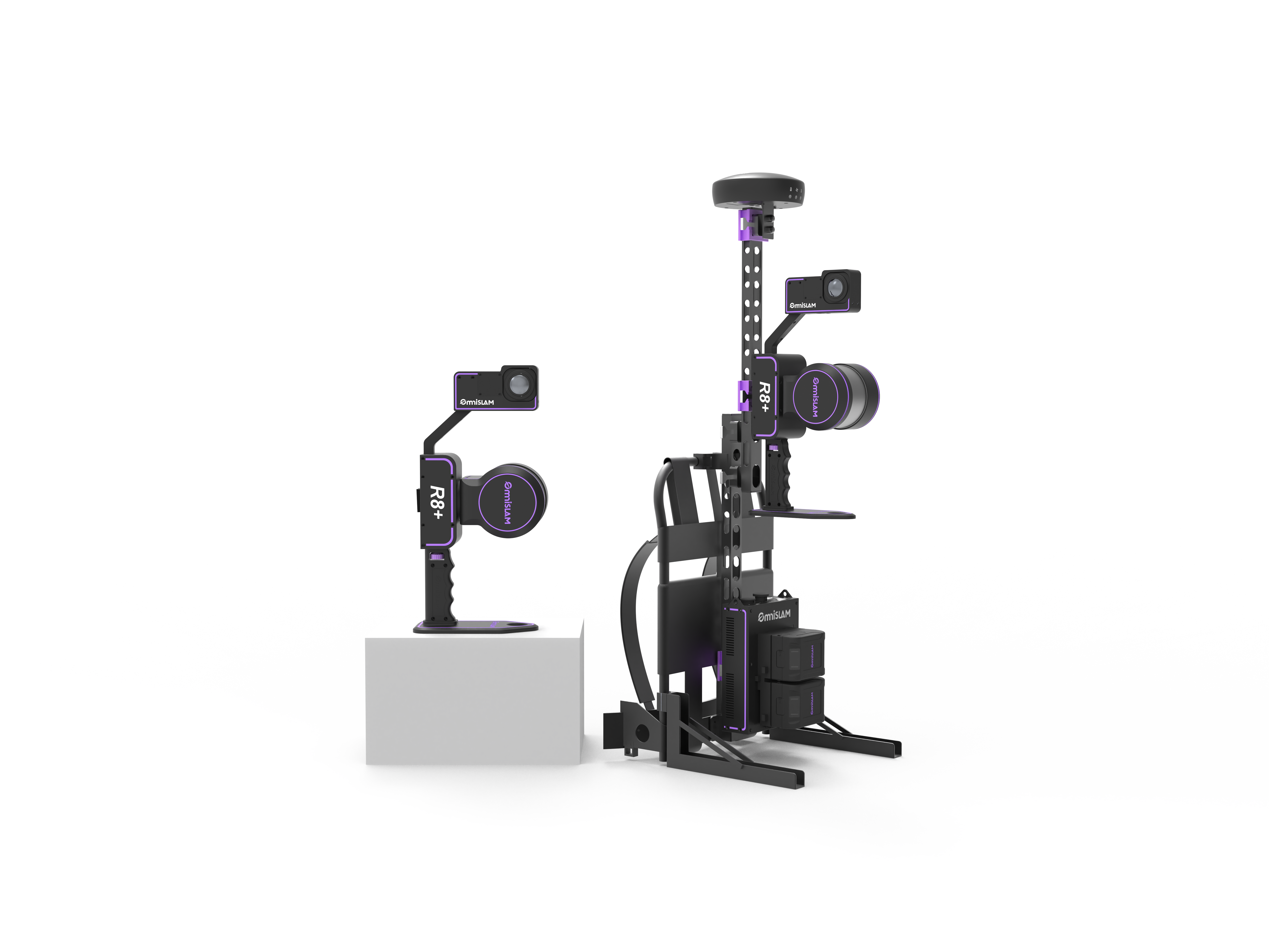
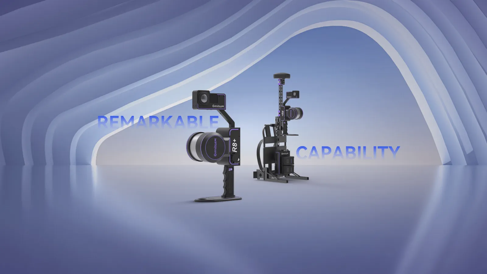
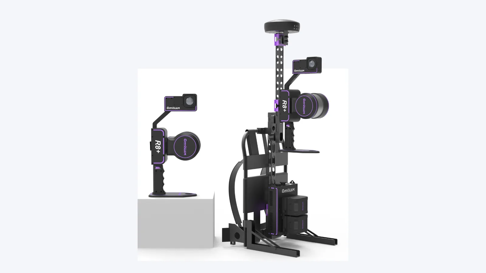
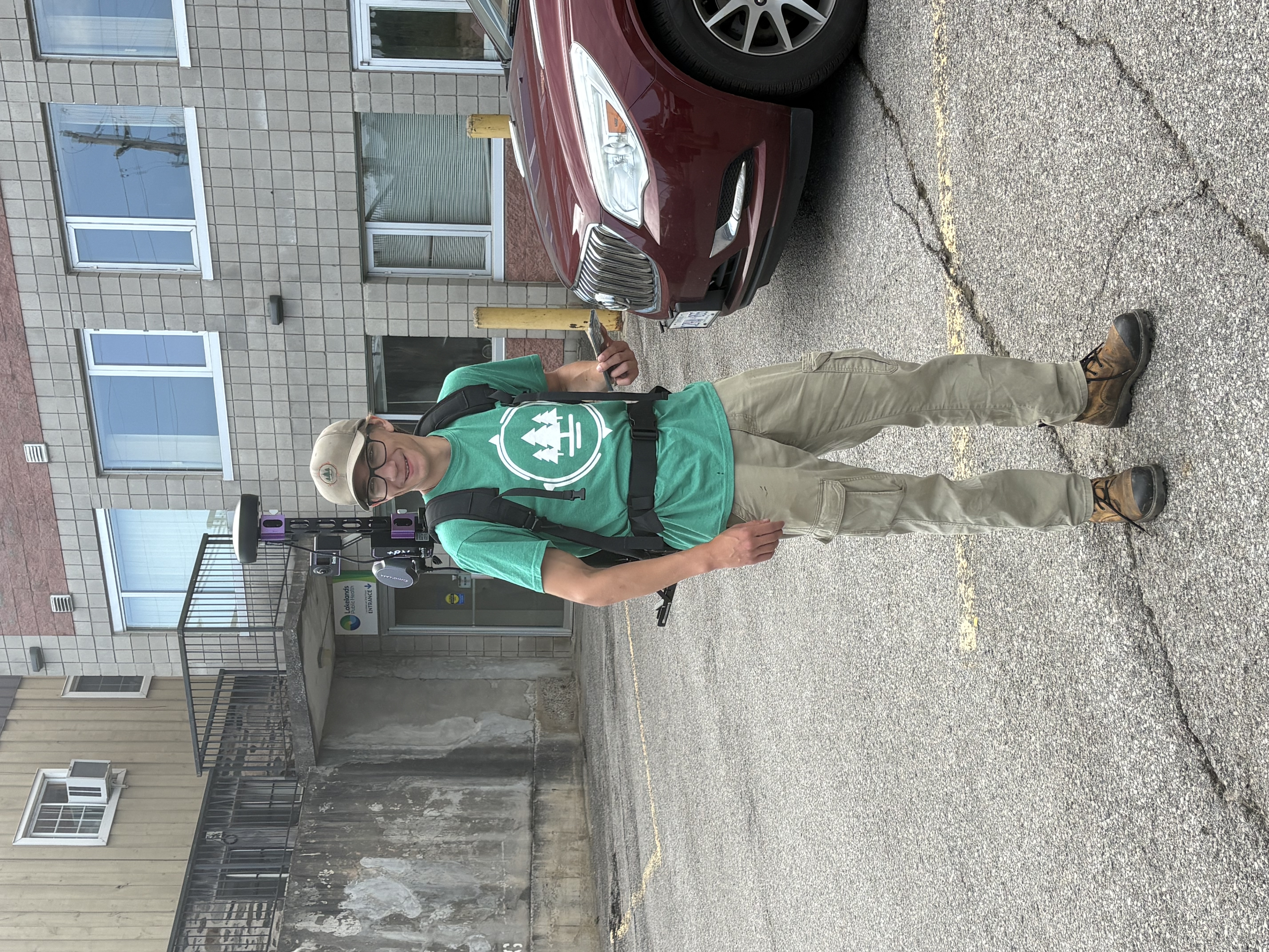
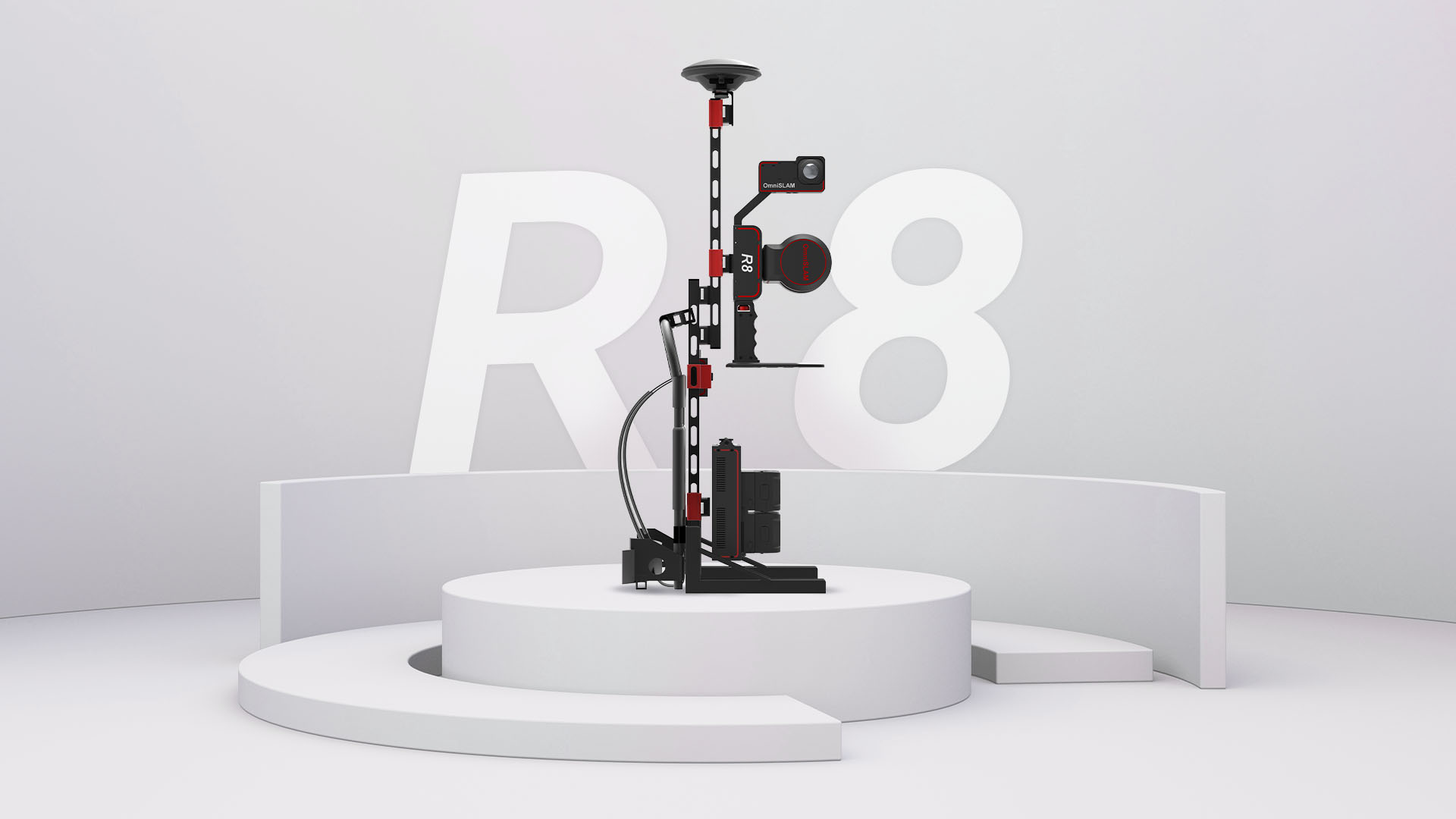
The same scanner runs handheld for interiors and tight spaces, or on the backpack frame with a raised GNSS mast for long outdoor runs and georeferenced work.
What it does
GCP instruction
Where a scan falls short of the accuracy you need, it tells you how many control points to add and roughly where to put them.
Moving-object removal
People and traffic that walked through the scan are taken back out of the cloud, so a working site does not have to be cleared before you capture it.
RTK-SLAM and PPK-SLAM
Georeferenced as you walk where the signal is good. Where it is not, post-processing holds a real fixed solution rather than accepting a misleading one.
Automatic mesh modelling
OmniSLAM Modeler builds the mesh on one workstation instead of a render cluster.
Accuracy report on every scan
A mean absolute deviation figure and a thermal map showing where the cloud is weakest. Evidence you can hand a client, not a claim you have to make.
Self-adaptive online calibration
The scanner recalibrates itself for the life of the unit. Point cloud thickness does not drift as it ages, and it never goes back to the factory to be re-calibrated.
Specifications
Colour
Panoramic camera, pixel-level
Carried as
Handheld · backpack · vehicle
Measure range
120 m · 300 m on the R8+300
Point density
250,000 pts/m²
Laser channels
32
Angular accuracy
0.005° levelling and vertical
Measurement rate
640,000 pts/s
Absolute accuracy
2 cm
Relative accuracy
Millimetre level
Point cloud thickness
2 mm
Builds
R8+
120 m range. The standard build, and the right one for interiors and most site work.
R8+300
300 m head. For open ground, corridors and anything where 120 m stops short.
Tell us the site and we will tell you which one you need.
Where it's used
Industrial plant to BIM
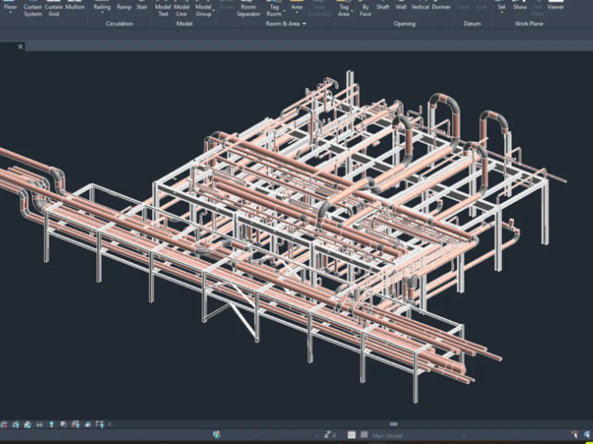
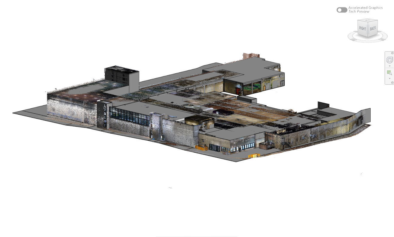
OmniSLAM captured a 4,800 m² industrial pipe network on the R8+ backpack, and ClearEdge3D modelled it in EdgeWise straight from the cloud.
Power corridors
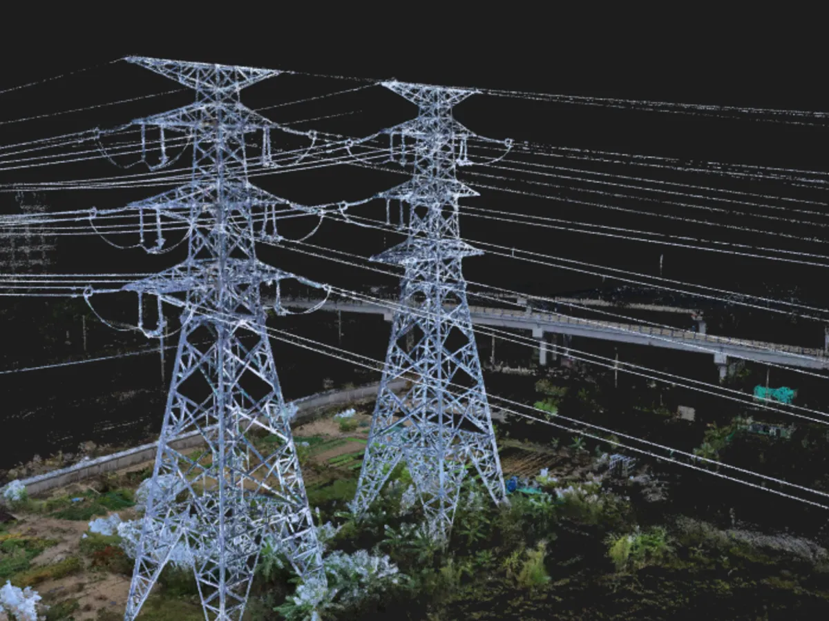
Towers scanned separately and joined in WGS84 line up wire for wire, including where drones are not allowed to fly.
Forestry
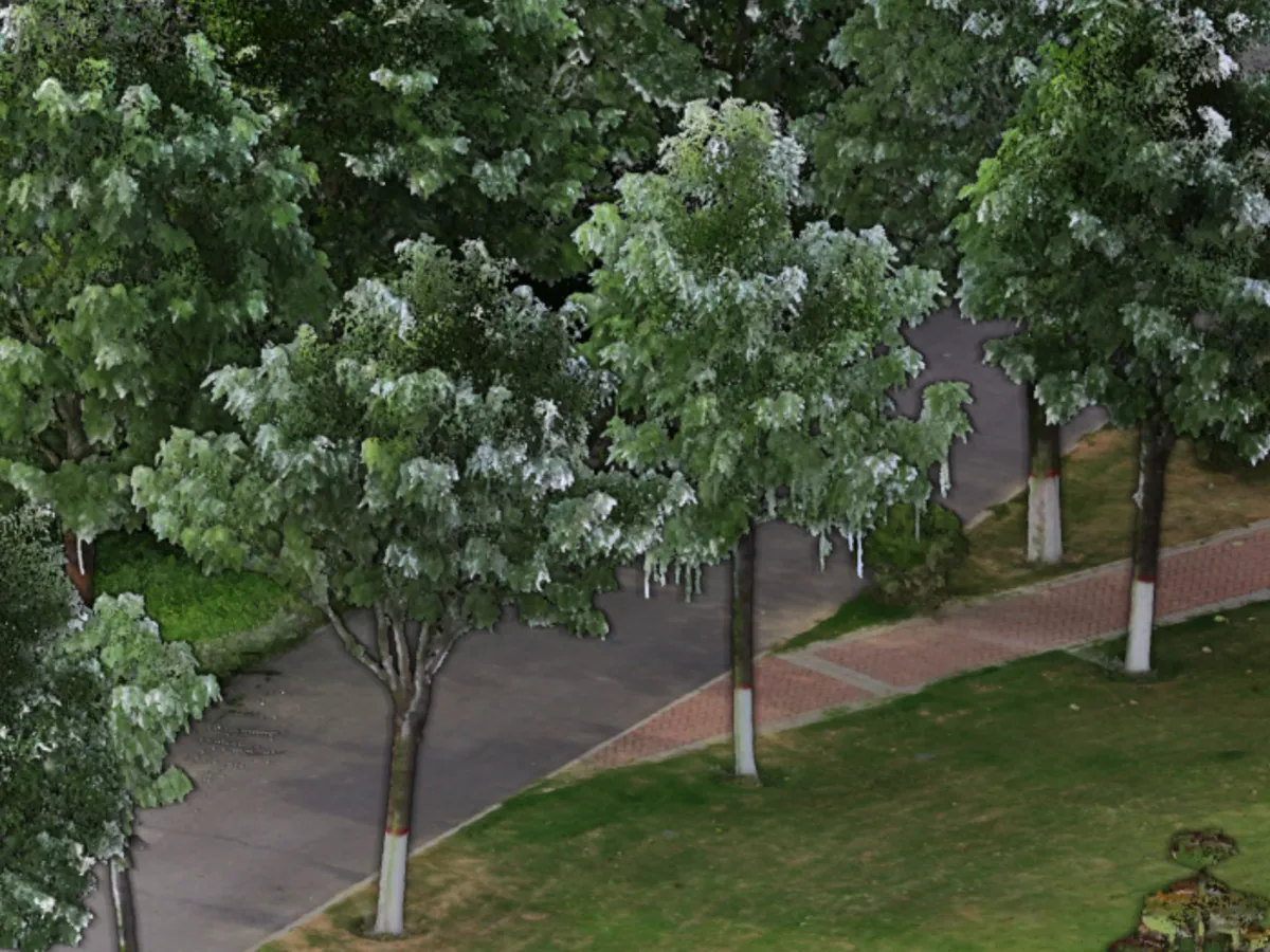
Tree height, breast-height diameter and crown width off a 2 mm cloud, with panoramas to confirm the species.
Tunnels and transit
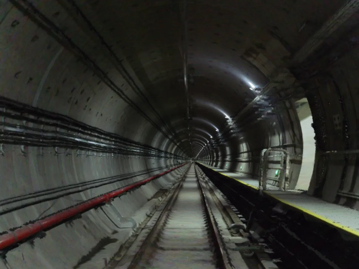
Dense coloured clouds of tunnel linings and track, so defects are located on the model before anyone goes back underground.